
Nepal Flood Disaster Raises Bigger Question: Can Himalayan Infrastructure Outrun Nature? What India, China and Nepal Need to Do?
SHIMLA/KATHMANDU:
The devastating Nepal–Tibet floods have turned the spotlight from the immediate rescue operation to a much larger question facing the entire Himalaya.
This Himalayan Question is: How much infrastructure can the fragile mountain system absorb without disaster preparedness, environmental safeguards and cross-border warning systems keeping pace?
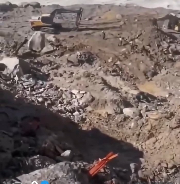
The catastrophe has destroyed roads, bridges and hydropower ptojects on both sides of the Nepal–China border. The scale and speed of the flood exposed the vulnerability of settlements and infrastructure built inside narrow Himalayan river valleys.
The disaster was triggered by an extreme chain of geological and hydrological events, with a glacier collapse and massive debris movement contributing to the sudden flood.
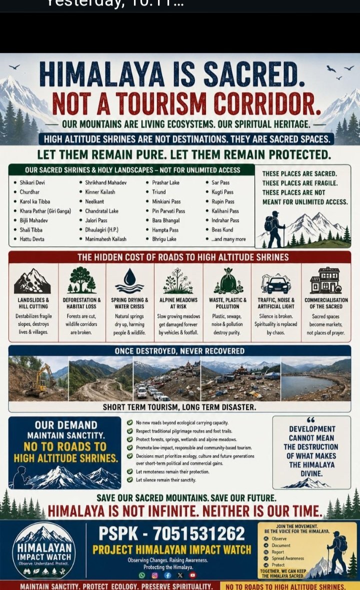
Researchers and disaster experts have repeatedly warned that climate change, glacier instability, landslides, glacial lakes and rapidly expanding infrastructure are creating increasingly complex risks across the Hindu Kush Himalaya.
That does not, by itself, establish that Chinese dams or construction projects caused the Nepal disaster.
But it does raise a legitimate question: are mega hydropower, highway and border-connectivity projects being designed for a Himalayan environment that is becoming more unstable?
China has pursued an extensive infrastructure build-out across the Tibetan Plateau, including hydropower, highways, tunnels, bridges and border infrastructure.
The latest disaster has inevitably intensified scrutiny of how such projects interact with steep slopes, seismic zones, glaciers and rapidly changing river systems.
The concern is not confined to China.
Nepal itself is rapidly expanding hydropower and road construction in some of the world's most difficult terrain. India too is pursuing major hydropower, road, railway and border infrastructure projects across the Himalayas.
The lesson therefore cannot simply be that China must stop building. The larger lesson is that India, Nepal and China need a common disaster-risk framework for a mountain system that does not recognise political boundaries.
China and Nepal already have a warning mechanism—but the disaster exposed its limits
China and Nepal have already developed cooperation on monitoring glacial-lake risks. Chinese and Nepalese scientists have worked on a cross-border early-warning system for glacial lake outburst floods, and the system has reportedly issued warnings in previous events.
But the latest catastrophe demonstrates that monitoring one hazard is not enough.
A glacier collapse can trigger a chain reaction involving an avalanche, landslide, debris flow, temporary river blockage, sudden lake formation and a downstream flood—all within hours.
China and Nepal have also been issuing warnings over a newly formed debris-dammed lake near the border after the latest disaster, amid concerns that another flood wave could be generated if the barrier fails. Reuters reported that authorities were preparing for the possibility of a further surge as additional water enters the lake.
This is precisely where regional cooperation must move beyond conventional diplomatic channels.
India needs a 24x7 Himalayan flood-warning architecture
Former NDMA adviser Safi Ahsan Rizvi has argued that India's preparedness must be accelerated and scaled up. He pointed to the National Glacial Lake Outburst Flood Risk Mitigation Programme, a Rs 150-crore initiative covering four Himalayan states and two Union Territories.
But Rizvi identified a more immediate institutional gap: the need for a 24x7 communication link between India's Central Water Commission and Nepal's corresponding authorities so that warnings can move instantly across the border.
That proposal deserves serious consideration.
A flood originating high in the Himalayas does not wait for a government meeting, diplomatic note or official correspondence.
If a dangerous lake forms, a glacier collapses or a landslide blocks a river, downstream authorities may have only minutes or hours to evacuate people.
Paper coordination cannot stop a wall of water. Real-time coordination can save lives.
Three countries need three levels of action
For Nepal, the priority should be mandatory multi-hazard risk assessments before approving large hydropower, road and tunnel projects in high-risk valleys. Project clearances should examine not only normal floods but also GLOFs, debris flows, earthquakes, landslides and cascading failures.
Hydropower tunnels and worker camps located inside narrow valleys need independent emergency plans, multiple escape routes, communications that work after power failure and real-time water-level and geological monitoring.
For China, the demand should be greater transparency over major construction activity and hydrological events in the Tibetan Plateau, particularly in transboundary river basins. Kathmandu and New Delhi need timely information on major incidents that can affect downstream populations.
For India, the lesson is equally stark.
The country cannot depend solely on conventional river-gauge information when Himalayan disasters are increasingly being triggered high above the river monitoring network.
India needs an integrated Himalayan warning grid combining satellite imagery, glacier and lake monitoring, seismic sensors, automatic weather stations, river gauges, drones and artificial-intelligence-assisted landslide detection.
The information must reach district administrations, hydropower operators, Border Roads Organisation units, police, Army formations and vulnerable villages simultaneously.
Big dams and roads need a new Himalayan test
The latest disaster should also trigger a review of the way mega infrastructure is evaluated across the Himalayas.
A project may be technically sound under conventional engineering parameters and still become vulnerable when an unprecedented volume of ice, rock, mud and water suddenly enters the river system.
The question should therefore not merely be: Can this dam, bridge, road or tunnel withstand a 100-year flood?
It should be: What happens when a glacier collapses, a landslide blocks the river, an earthquake strikes and an extreme rainfall event arrives at the same time?
That is the Himalayan test that India, Nepal and China now need to adopt.
The disaster has shown that the Himalayas are becoming a single interconnected risk zone. A landslide in Tibet can threaten Nepal; a flood in Nepal can affect India's downstream river systems; and infrastructure failure in one country can disrupt trade and emergency access across the region.
The answer cannot be another round of blame.
It has to be shared data, faster warnings, safer project design, independent risk assessments and a permanent India–Nepal–China disaster communication mechanism wherever geography demands it.
The Himalayan rivers will continue to cross borders. One Himalaya. Three Nations. One deadly risk. We need to recognize this reality.