
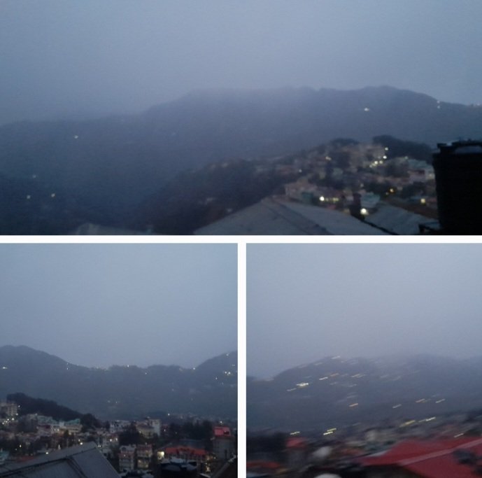
Shimla, March 19: Himachal Pradesh is heading into a week of unsettled weather, with the Meteorological Centre in Shimla forecasting rain, snowfall, thunderstorms and gusty winds across the state till March 25, under the influence of an active western disturbance.
The latest weather bulletin issued on March 19 indicates that wet spell conditions will persist across the state for the next seven days, with intermittent rainfall and snowfall likely in districts such as Kullu, Lahaul-Spiti, Kinnaur, Chamba, Kangra and Shimla.
As per the forecast, March 19 and 20 are expected to witness widespread weather activity, including heavy rain and snowfall at isolated places, accompanied by thunderstorms and lightning with gusty winds reaching speeds of 40–50 kmph, gusting up to 60 kmph. A hailstorm warning has also been issued for isolated locations on March 19.
The intensity of weather activity is likely to reduce slightly between March 21 and 22, with isolated rainfall and snowfall expected. However, conditions may again turn active on March 23, with scattered precipitation across the state, before tapering to isolated activity towards March 24 and 25.
The weather system is being driven by a western disturbance over north Pakistan and adjoining areas, along with an upper air cyclonic circulation over west Rajasthan, which continues to influence weather patterns over Himachal Pradesh.
Heavy Rain, Snow Lash Several Areas
Over the past 24 hours, several parts of the state have already recorded significant precipitation. Manali received 53 mm rainfall, followed by Sarahan (32.5 mm), Seobagh (32.4 mm), Bhuntar (26.5 mm) and Dharamshala (15.3 mm).
Higher reaches witnessed fresh snowfall, with Gondhla (13 cm), Keylong (12 cm) and Kukumseri (11.4 cm) among the prominent locations.
Thunderstorm activity was reported in Shimla, while shallow fog reduced visibility in parts of Mandi. Gusty winds clocked up to 43 kmph in Neri and 41 kmph in Seobagh.
Temperatures Dip Below Normal
Day temperatures across most parts of the state remained 2 to 8 degrees Celsius below normal, indicating the impact of the active weather system. The highest temperature was recorded at Paonta Sahib (27°C), while Kukumseri remained the coldest at -0.6°C.
Advisory
The MeT office has advised residents, tourists, and authorities to remain cautious, especially in higher altitude areas prone to snowfall and slippery roads.
Farmers and orchardists have also been alerted about possible damage due to hailstorms and gusty winds during the initial phase of the forecast period.
With back-to-back western disturbances impacting the region, Himachal Pradesh is set to witness a prolonged spell of volatile weather, delaying the onset of stable spring conditions across the hills.