
Heavy Rains Likely in Himachal: Met Dept Issues Alert for Next 5 Days
Shimla, August 3:
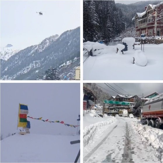
The India Meteorological Department (IMD), Shimla, has issued a weather alert for Himachal Pradesh, warning of heavy to very heavy rainfall at isolated places between August 3 and August 5, especially across the low and middle hills of the state.
The forecast highlights the possibility of landslides, flash floods, traffic disruption, and damage to standing crops in vulnerable areas.
According to the bulletin, monsoon activity continues to remain active, with light to moderate rainfall reported across most places in the last 24 hours, and isolated heavy showers recorded in parts of Hamirpur, Mandi, Bilaspur, Una, and Solan districts.
The worst-hit areas in the coming days could be Una, Bilaspur, Hamirpur, Kangra, Solan, Sirmaur, Shimla, and Mandi, where heavy to very heavy rainfall is expected particularly on August 4 and 5.
Meanwhile, high-altitude regions like Kinnaur and Lahaul-Spiti are expected to receive only scattered light to moderate rainfall.
On August 6, rainfall is likely to reduce slightly but isolated heavy spells may still occur in some areas. From August 7 onwards, rainfall activity is likely to be moderate and more scattered, with no severe weather warnings currently issued for the last three days of the forecast period.
IMD Advisory & Impact Warning:
Possibility of landslides/mudslides and road blockages in susceptible areas.
Waterlogging in low-lying urban zones.
Flash floods and rise in water levels of rivers and streams, especially in catchment areas.
Traffic congestion and disruption to outdoor movement and essential services.
Risk to horticultural crops and standing Kharif crops due to heavy downpour.
IMD urges:
Residents to avoid trekking and venturing near rivers or water bodies.
Travelers and tourists to check weather updates and follow traffic advisories.
Local administrations to be on alert mode and monitor vulnerable zones closely.
In terms of temperature, no major changes are expected in the next two days, although a gradual fall of 2–4°C in maximum temperatures is likely thereafter due to persistent cloud cover and rainfall.
With monsoon patterns intensifying due to a trough extending across northern India, coupled with a cyclonic circulation over Punjab and an active Western Disturbance, Himachal Pradesh is bracing for another spell of turbulent weather.
#HimachalRains #IMDAlert #Monsoon2025 #LandslideRisk #WeatherUpdate