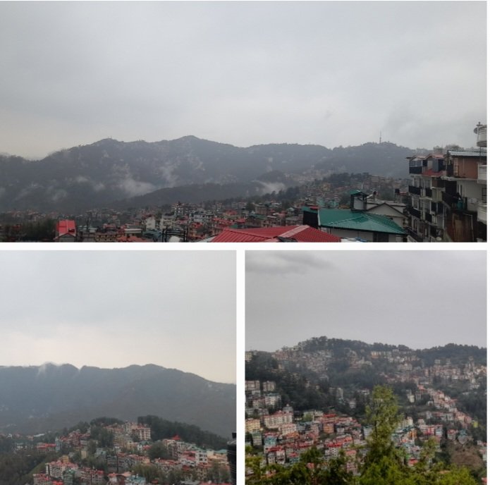
Shimla, May 3: Himachal Pradesh is heading into a fresh wet spell in the first week of May, with the Meteorological Centre forecasting light to moderate rain and snowfall across many parts between May 3 and May 5, followed by scattered activity till May 8—signalling a continuation of the state’s increasingly erratic weather pattern.
This forecast comes on the back of an April that refused to stick to a script—swinging sharply between vigorous rain, hailstorms, cold day conditions and even heat wave episodes across districts.
April’s Mixed Signals: Normal Rain, Abnormal Behaviour
On paper, April looks “normal.” The state recorded 66.3 mm rainfall—just 4% above normal, placing it as the 47th highest April rainfall since 1901.
But scratch the surface, and the story changes.
Seven districts, including Shimla, Solan and Mandi, saw large excess rainfall
Tribal belts like Kinnaur and Lahaul-Spiti faced deficient precipitation.
Rainfall activity fluctuated wildly—from vigorous (April 8) to prolonged dry spells later in the month
In Shimla alone, rainfall shot up to 94.6 mm—76% above normal, underlining the skewed distribution.
Weather Whiplash: Hail, Heat and Cold in One Month
April packed in almost every weather extreme:
Hailstorms hit Shimla and Mandi multiple times, damaging crops
Thunderstorms and lightning became a frequent feature in mid-hills
Severe cold day conditions were reported in parts of Kinnaur, Una and Kangra as late as April 8
By the last week, heat wave to severe heat wave gripped Una, Kangra and Kullu .
This rapid shift—from cold to heat within days—points to rising atmospheric instability over the region.
What Lies Ahead: A Wet Start to May
The immediate forecast suggests:
May 3–5: Widespread rain/snow in many areas
May 6–7: Reduced activity, limited to a few places
May 8: Another round of light precipitation at isolated locations
For farmers—especially apple growers in Shimla and upper hills—this could be a double-edged sword. While moisture helps fruit setting, hail and erratic rain remain a constant threat during this sensitive phase.
Bigger Picture: A Pattern, Not an Exception
What stands out is not just April’s numbers, but its erratic distribution and rapid weather shifts. Himachal is increasingly witnessing:
Localized extremes instead of uniform rainfall
Back-to-back contrasting events—cold waves followed by heat waves
Higher frequency of hail and thunderstorms
In short, “normal rainfall” is no longer translating into “normal weather.”
As the state steps into May, the forecast rain may offer temporary relief from rising temperatures—but it also reinforces a worrying trend: Himachal’s weather is becoming less predictable, and far more volatile.